
Geographic Information Systems (GIS) Resources
Sample Geographic Information Systems & Technology Course
|
With Geographic Information Systems & Technology (GISt) just now becoming widely used and available outside of geographers the biggest challenge is getting teachers comfortable enough with it so they can then turn around and use it to teach. The possible uses of GIS make it valuable for literally every style of classroom, but in order for this to happen teachers must learn how to use it. With the changing of standards for social studies education a lot of the traditional fact based content standards are being phased out in favor of skill based application standards. Already a number of states are beginning to incorporate use of GISt into their state standards. Located in order below you can find the following items:
- Links to Training Programs for Teachers - GIS Mapping Platforms - Mobile Applications - General Cartography Resources - Geospatial Data Resources AP Geographic Information Systems and Technology Proposal
| ||||||
GIS Trainings for TeachersOne of the biggest hurdles to teaching with GIS is the lack of knowledge about the technology itself. The best way to become familiar with the software is probably to just login and experiment with it, or use one of the trainings below to increase your GIS knowledge.
ESRI MOOC ProgramThe Institute For Mapping TechnologyCenter For Geographic Analysis: Training
|
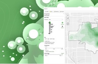
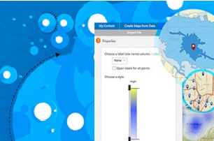
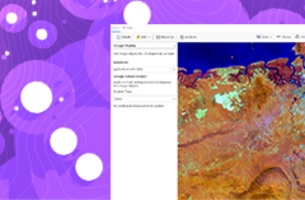
GIS Mapping PlatformsThere are various GIS platforms available and based on what you are looking for different ones are recommended. ArcGIS is the main platform used due to the ConnectED iniative (explained below), but look at the others as well to see which one will best meet your needs (and budget).


Other Mapping Platforms
Esri ConnectEd Iniative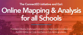
Thanks to a large grant by President Obama Esri has made it possible for all K-12 institutions in America to get a free license to use ArcGIS in their classrooms. Talk to your school's technology person or sign up by using the link above. (Sign up is at the bottom of the page)
|


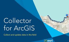
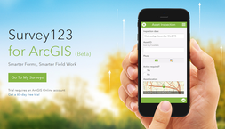
Mobile Applications
|
|
Cartography Resources
In the field of cartography there are numerous sources of information, some good, some not so good. The resources below are some of the better map collections and general cartographic aids. In terms of GIS the Esri Support Dictionary is invaluable for deciphering the acronyms and lingo of the GIS field.


Geospatial Data Resources
Finding good useable data is sometimes difficult when trying to find maps. Simply finding data is fairly easy, but finding data that is readily available and compatible with geospatial platforms can be tricky. Below are some fairly user-friendly databases with geospatial data that are available free, or with a simple registration. When downloading data sets most shapefiles (.shp), comma-separated value (.csv), text files (.txt), or GPS Exchange (.gpx) files with spatial data are compatible with ArcGIS, and Keyhole Markup Language (.kml) files are compatible with Google Earth.


|


|


GIS Support
When dealing with GIS there definitely is a learning curve and it may take quite a while to become comfortable with using the technology. The American Association of Geographers maintains a collection of available GeoMentors who are available to assist with GIS related questions. These GIS experts have different specialties in using GIS, suggestions for how to use GIS in classes, or just as resources for information about the applications of GIS. Another good place to check for help with GIS is with your state's Geography Alliance.
|
|

|

|

|