Sample World Geography Class
|
While some states have moved into teaching Human Geography or Global Studies, some continue offering World Geography as their main Geography credit. The purpose of this resource page is to provide the typical map work and place memorization resources, but also to give suggestions for incorporating different resources to better fit in the updated national geography standards. Through teaching about World Geography with the major themes of Urbanization, Population/Migration, Economic Development, Agriculture and Rural Land Use, Culture, and Political geography the national standards can be incorporated along with the map work. Located in order below you can find the following items:
- Theories and Practices of Geography - Physical Geography - Principles of Human Geography - North America - South America - Europe - Africa - Asia - Oceania - The Polar Regions | ||||
|
|
| ||||||
Unit I - Theories and Practices of Geography
Selected Resources:
Unit II - Physical Geography

|


|

|
Lizard Point Collection

Selected Resources:
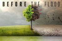
Unit III - Principles of Human Geography

|
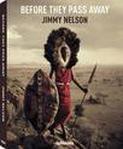
|


|
Selected Resources:
Unit IV - North America


Lizard Point Collection

Selected Resources:
Unit V - South America


Lizard Point Collection

Selected Resources:
Unit VI - Europe


Lizard Point Collection

Selected Resources:
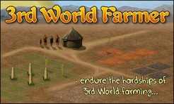
Unit VII - Africa


|
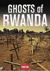
|

|